A Map and a Lens 2013-2016
A comprehensive visual guide to Jordan’s history, and by extension, that of the Levant region.


In 2013 I set out with Omar Al-Alami to capture Jordan’s most fascinating and frequently overlooked archaeological & religious sites. Between photographing and researching these locations I wrote an estimated 75,000 words of corresponding historical context and background. In the 11 months it took to complete the first phase of the project, I visited over 160 locations, covered a distance of 10,000 km, shot over 9,000 photographs, spent a cumulative 40 days on the road with 26 off-road excursions and 15 night shoots.
The intention of the project was to create a comprehensive archive of artistic and documentary photographs of Jordan’s vast and layered history, as well as provide informative and interesting text to expand on the pictures. The presentation of the work to the world via a photo exhibition and a book being the final goal.
In late 2013 I held an exhibition in Amman that featured 109 photographs from 69 sites. The exhibition was very well received with an estimated 800 people attending.
By 2014 I had covered 250 sites, taken over 15,000 shots, driven an additional 5,000 kilometers, compiled a book, and found a publisher.
Set to be published in 2018 , the book features over 200 photographs from 116 locations, presented in chronological order and supported with individual anecdotes for each site.
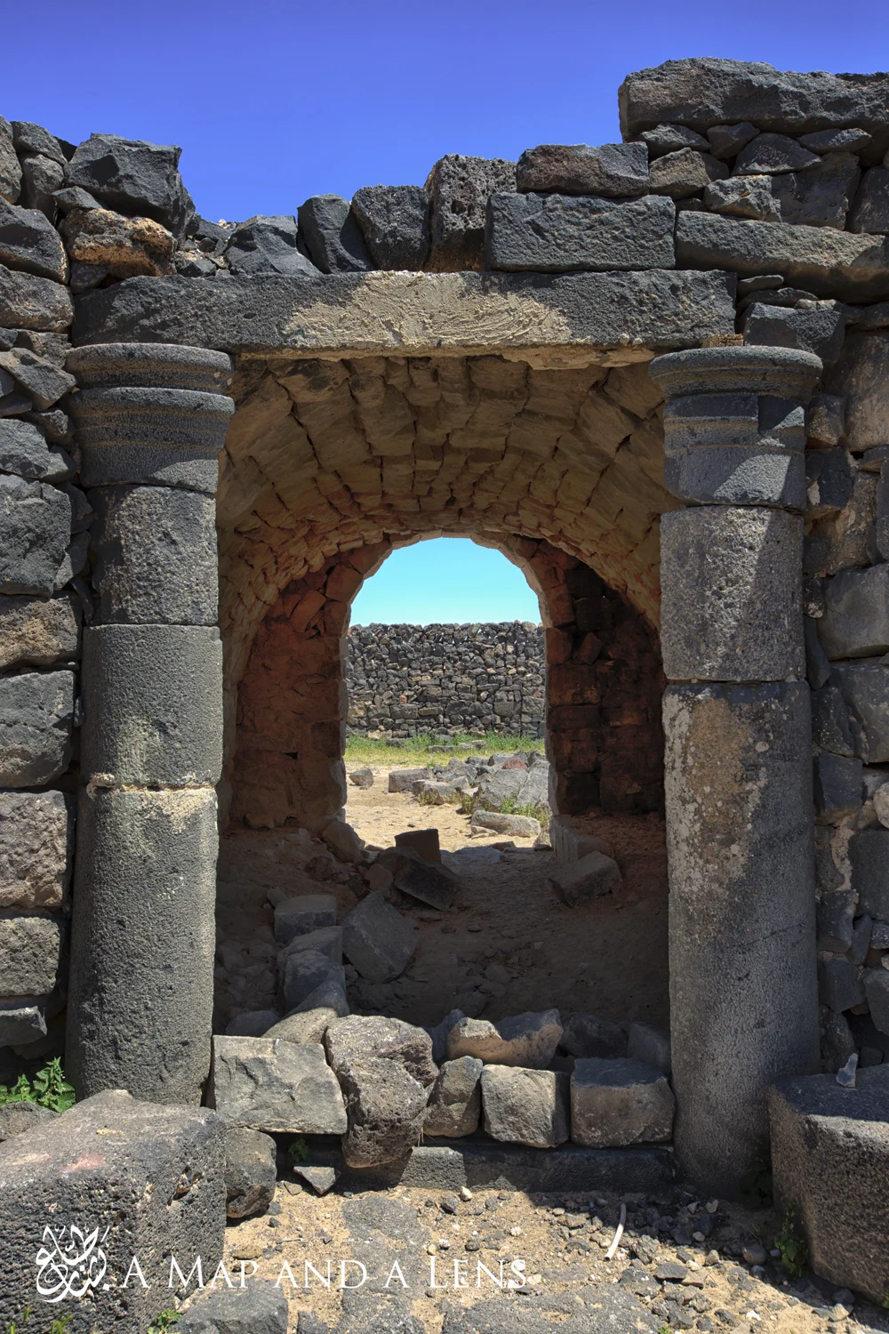
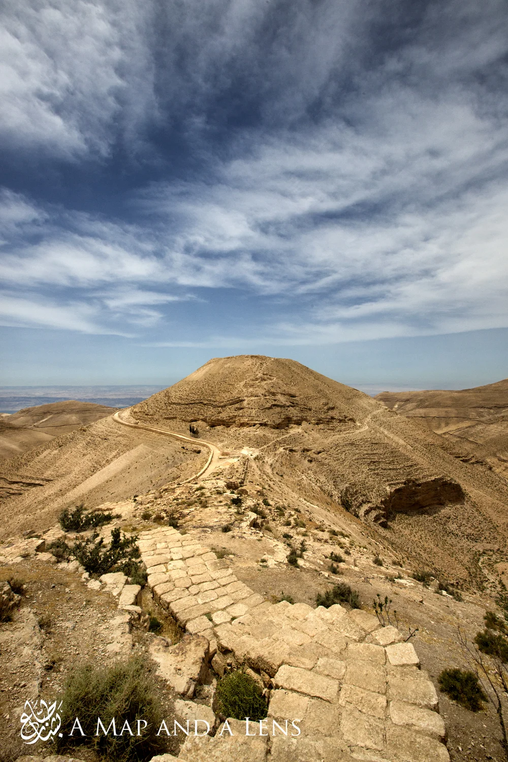
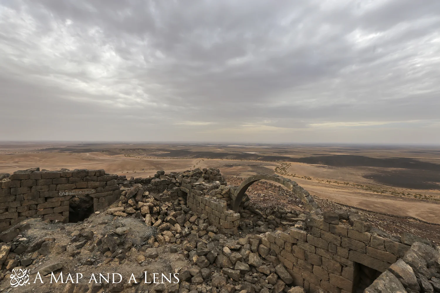
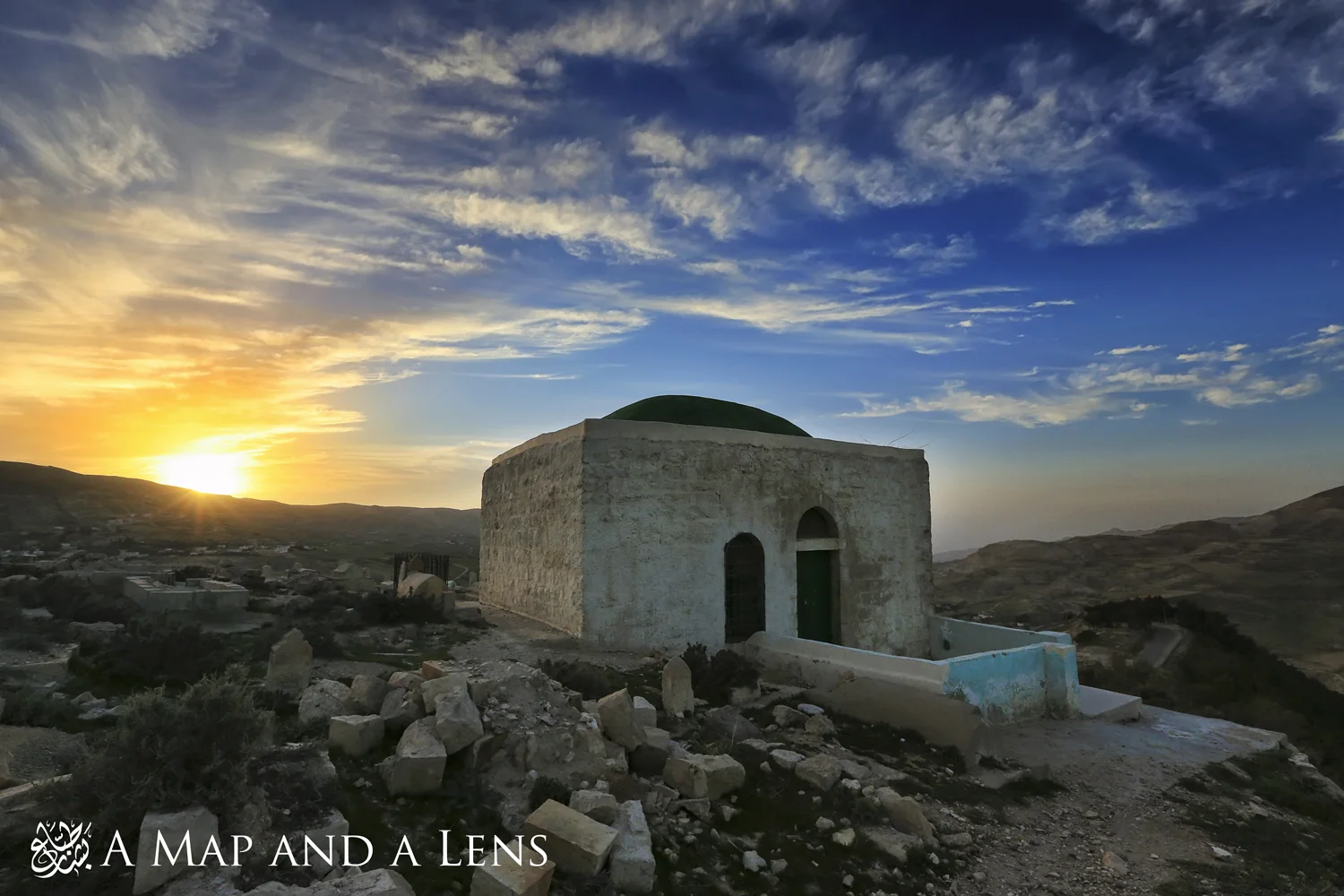
A montage of 11 months of photography work.
it took us three days to set up 111 photographs, 2 large banners, 2 TV screens and 79 information cards. https://www.facebook.com/amapandalens